
Hayward ZIP Code Coverage at a Glance
Hayward’s four core residential ZIP codes are 94541, 94542, 94544, and 94545. A 2013 city resident survey used those four postal areas, with shares of 29.5%, 18.1%, 35.2%, and 13.0%, plus 4.1% in other areas. Those percentages describe that survey, not a current population count. The Hayward postal footprint still matters because the ZIP code directory begins with delivery geography, then tests each address against city jurisdiction and parcel data.
| ZIP | Areas Covered | Post Office | Notes |
|---|---|---|---|
| Hayward 94541 | Downtown, north and northwest Hayward, B/C/A streets, Cannery | Bradford, 822 C St. | Postal Hayward reaches Ashland and Cherryland |
| Hayward 94542 | Hills east of Mission, CSU East Bay, Fairview-facing hillside | No separate retail station verified | Hayward station coverage is not separately verified |
| Hayward 94544 | Central and south Hayward, Mission, Harder, Tennyson, South Hayward | Hayward, 24438 Santa Clara St. | Largest core Hayward count in the city address layer |
| Hayward 94545 | West Hayward, Mount Eden, airport, shoreline, industrial, Southland | Mount Eden, 2163 Aldengate Way | West-side Hayward ZIP with a distinct station |
| Hayward 94543 | Historical or administrative Hayward postal use | No separate station verified | Do not treat as a Hayward residential polygon |
The counts visible in the Hayward city address layer reinforce the difference between these areas. The layer reports 14,424 postal-Hayward points for 94541, 5,585 Hayward addresses for 94542, 28,839 Hayward points for 94544, and 13,918 for 94545. A point count is an address-layer result, not a headcount and not proof that every point falls inside the incorporated boundary.
The USPS city and state ZIP lookup is the proper first check for a delivery label. It does not settle whether a record belongs to Hayward, Ashland, Cherryland, or another jurisdiction.
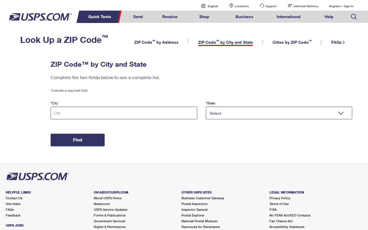
The USPS view establishes Hayward postal coverage, while the local parcel and address layers supply the jurisdictional context needed for a careful Hayward resident or property search.
Hayward ZIP 94541 and 94542 Edges
ZIP 94541 is the broad north and northwest Hayward postal area. Its Hayward portion includes Downtown, the B, C, and A streets, and Cannery. The postal label also reaches Ashland and Cherryland. A search that starts with “Hayward” and 94541 can therefore pick up addresses outside the city’s incorporated boundary. The Hayward city GIS zones are the needed second check.
ZIP 94542 follows a different Hayward pattern. It covers the hills east of Mission, CSU East Bay, and the Fairview-facing hillside. The address layer reports 5,585 Hayward points there. No separate retail post office was verified for this ZIP, so the absence of a station name should not be read as an absence of addresses or residents. Delivery service and city jurisdiction are separate facts.
The Hayward station listing at 24438 Santa Clara Street is useful when a delivery question needs an official location record. It does not replace a parcel lookup. A complete ZIP code directory records the postal source, then keeps the GIS city and zone fields attached to every address result.
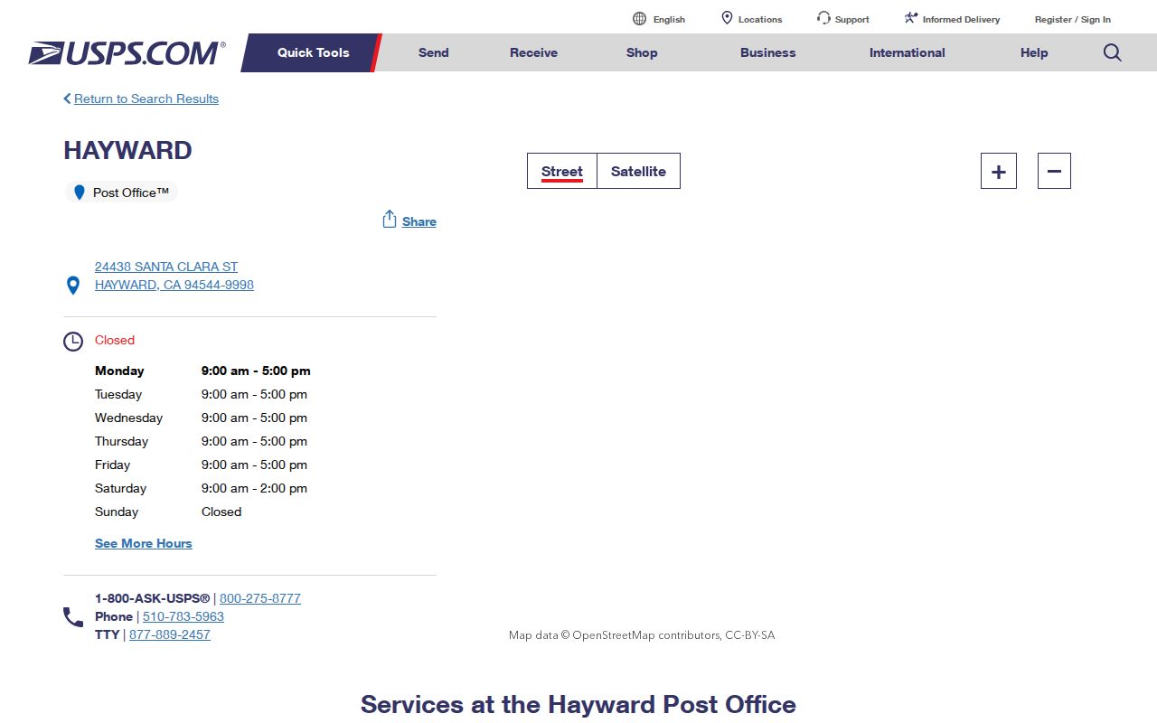
The Hayward station record illustrates the practical difference between a Hayward service location and the geographic footprint of ZIP 94541 or 94542.
Hayward ZIP 94544 and 94545 Areas
ZIP 94544 is the largest core Hayward address area in the city layer, with 28,839 Hayward points. It reaches central and south Hayward, including Mission, Harder, Tennyson, and South Hayward. The Hayward station serves this part of the postal map at 24438 Santa Clara Street. A ZIP-level count can show where Hayward address records cluster, but it cannot identify a household or prove that each point is current.
Hayward’s local growth helps explain the mix inside these ZIPs. Hayward population rose fivefold from 14,000 in 1950 to 72,000 in 1960, leaving a strong mid-century record layer of plats, permits, telephone books, and directories. A Hayward ZIP result from a postwar tract may therefore lead to a different historical source set than an older Downtown parcel.
ZIP 94545 covers a distinct west-side Hayward sweep: Mount Eden, the airport, shoreline and industrial areas, and Southland. The city layer reports 13,918 points. The Mount Eden station at 2163 Aldengate Way is the relevant USPS location recorded in the source material. When a Hayward address seems close to a city edge, keep the full street, unit, city, zone, and APN fields together instead of shortening the search to the ZIP.
These two ZIPs show why “residents by ZIP” is a starting phrase rather than a record type. One postal area can include very different land uses, and one city neighborhood can contain parcels whose mailing and situs addresses do not match. Address-level verification narrows the question before a deed, permit, directory, or historical record is requested.
The Mount Eden Post Office details provide a delivery-side reference for west Hayward. Pairing the station record with the city layer avoids confusing a postal facility with the boundary of the ZIP it serves.
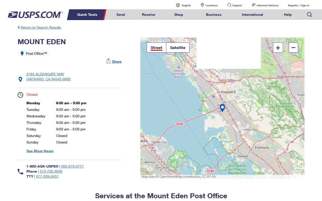
The USPS location record adds a second delivery reference for the central and south Hayward portion of the ZIP map.
Hayward ZIP Address Query Fields
The Hayward address service is more useful than a ZIP label alone because it stores the pieces that explain where a Hayward address sits. The published layer exposes HouseNum, directional and street-type parts, unit, City, Zipcode, Zone, FullAddress, current, pending, and retired status, APNs, and coordinates. It supports SQL filters, distinct or statistical results, sorting, pagination, distance, and extent queries.
| Field or control | What it contributes |
|---|---|
| Hayward HouseNum, street parts, unit | Separates a Hayward street address into searchable components and preserves unit information where supplied |
| Hayward City, Zipcode, Zone | Allows a postal filter to be compared with local Hayward administrative geography |
| Hayward FullAddress and status | Shows the assembled address and whether it is current, pending, or retired |
| Hayward APN and coordinates | Connects an address point to a Hayward parcel and map location for the next record search |
| Hayward distinct, statistics, pagination | Counts or sorts address results without treating the count as a people total |
The Hayward Council Adopted Neighborhood layer adds planning geography to the same map environment. It can help describe a Hayward ZIP result by civic area, but those polygons are planning units, not membership directories. A map click is also not a legal survey. Retain the source layer, date, and query terms when a result may need to be checked later.
The Hayward Council Adopted Neighborhood layer shows how a postal result can be placed inside a local planning frame without turning a planning label into a resident list.
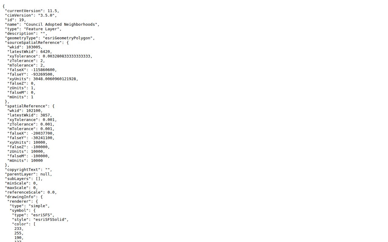
The Hayward layer metadata reinforces the need to keep ZIP, zone, neighborhood, and parcel fields distinct during a Hayward ZIP code directory search.
Finding Hayward Residents by ZIP Code
A Hayward ZIP-wide search works best as an address inventory, not as a promise of a complete resident roll. The Hayward address layer accepts SQL filters, distinct and statistical results, sorting, pagination, distance, and extent queries. It can return address points, current or retired status, APNs, coordinates, city, zone, and ZIP. The Alameda Assessor portal searches by APN or site address, but a public owner-name search and a verified ZIP-wide owner mode were not confirmed. The voter portal is a personal status check, not a block or ZIP directory.
- Confirm the Hayward delivery label with USPS and write down the full ZIP, including any ZIP+4 supplied for the address.
- Filter the Hayward address layer by
CityandZipcode, then separate current, pending, and retired address points. - Open each relevant Hayward point, capture its full address and APN, and treat the point count as geography rather than a household total.
- Use the APN or site address in the county property and tax systems; do not infer an owner from a ZIP alone.
- For a named street or a smaller set of parcels, switch to the Hayward street directory workflow and verify the local jurisdiction.
Qualified Hayward voter-file requests are a separate path. Elections Code §2194 limits release to election, scholarly, journalistic, political, or governmental purposes, and home addresses and identifiers remain confidential outside those rules. A ZIP filter therefore helps organize lawful geographic research only when the requester has a permitted purpose.
The Hayward parcel layer supplies the bridge from postal area to APN and situs. It exposes a censored public owner field and separate tax mailing fields, so matching a ZIP and mailing address still does not establish who occupies a parcel.
The Hayward parcel-layer image shows why a ZIP query needs a second pass: the useful result is a set of identifiable parcels and address fields, not an unrestricted list of people.
Hayward ZIP: USPS and WebMap
Two official tools can agree on a Hayward address while answering different questions. USPS validates a deliverable city, state, and ZIP combination. Hayward WebMap checks the local address point, parcel geometry, city and zone fields, APN, and nearby jurisdictional layers. The Alameda Assessor uses APN or site address for public property information, while the Clerk-Recorder indexes recorded instruments by party and identifier. None of those systems is a complete resident roll.
| Source | Best question | Important limit |
|---|---|---|
| Hayward USPS ZIP lookup | What postal label and delivery area fit the address? | Does not establish incorporation or parcel ownership |
| Hayward WebMap | Which local address point, parcel, zone, and APN match? | Map information is not a legal survey |
| Hayward Alameda Assessor | What assessment record matches an APN or site address? | Online owner-name search is not confirmed |
| Hayward Clerk-Recorder | Which recorded parties and instruments connect to a title trail? | 1969-present is electronic; earlier indexes require in-person work |
The distinction becomes important when a Hayward ZIP query produces Ashland or Cherryland addresses under a Hayward postal city, or when a Hayward parcel carries a neighboring ZIP. A delivery result can be right while a city permit request is sent to the wrong office. Start with USPS, test the address in WebMap, then choose the custodian that holds the Hayward record sought.
The Bradford Post Office record is another official delivery-side reference for the 94541 area. It should be read alongside the postal lookup and the local address layer, not as a substitute for either one.
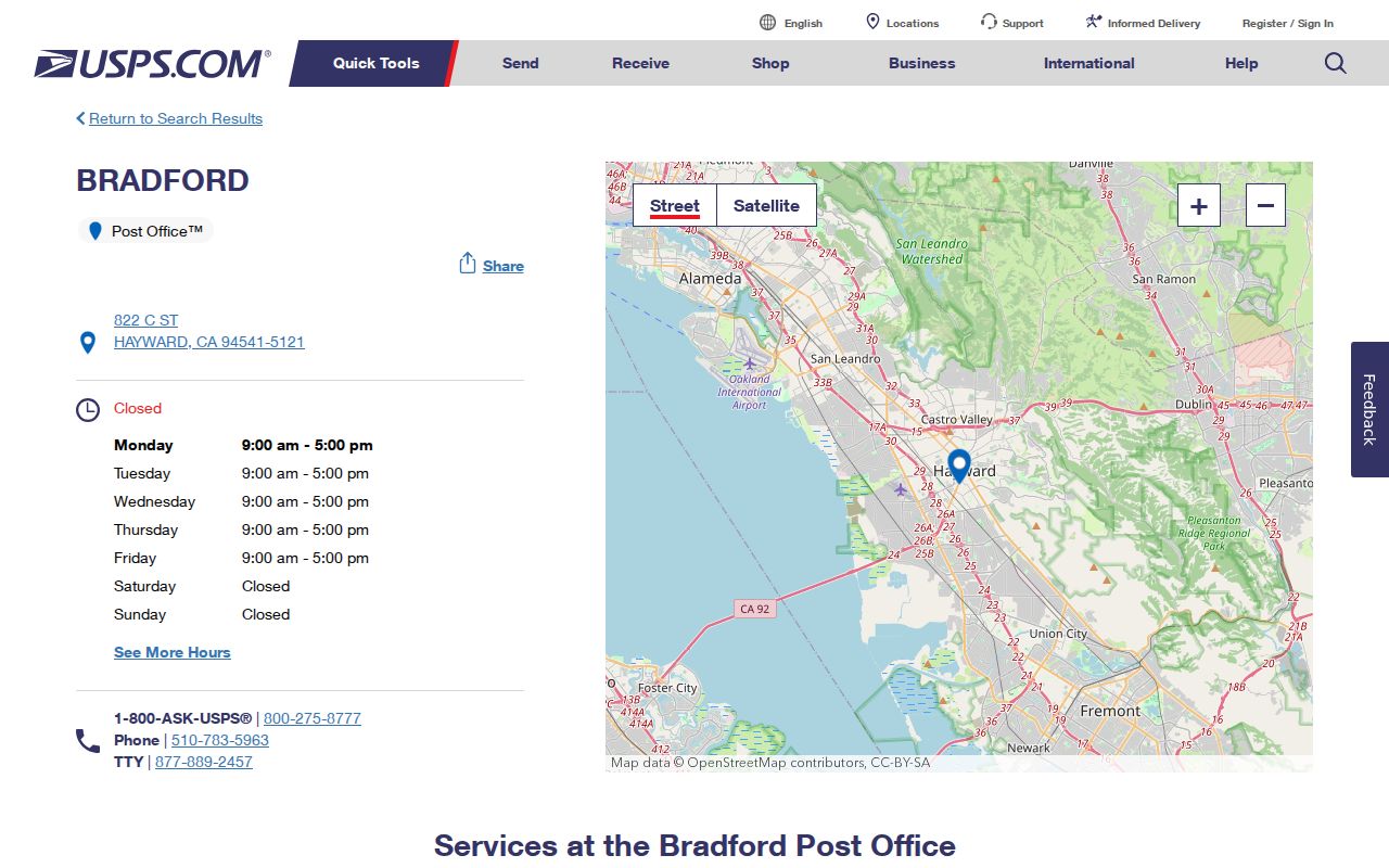
The Hayward post office detail page anchors the delivery question, leaving the city map and county systems to answer jurisdiction and record questions.
Hayward ZIP Boundaries and City Limits
A postal city name is not an incorporation test. ZIP 94541 reaches beyond Hayward into Ashland and Cherryland, while the city address layer records small spillovers under 94546, 94552, 94587, and 94588. The layer reports 627 points in 94546, 11 in 94552, 9 in 94587, and 4 in 94588 when the city field is Hayward. Those are boundary or administrative results, not new core residential ZIPs.
Hayward planning staff direct Hayward property researchers to check the WebMap before requesting city files. That step prevents a postal label from sending a search to the wrong custodian. City, Zone, ZIP, APN, and FullAddress are separate fields. The same Hayward address can be useful for USPS delivery, county assessment, a city permit search, or a recorded instrument, but each system answers a different question.
Boundary check. Use USPS for delivery, Hayward WebMap for jurisdiction and parcel location, and the county recorder for recorded instruments. Never treat a postal code as proof of city limits or occupancy.
- ZIP versus ZIP+4
- A five-digit ZIP identifies a broad delivery area. The extra four digits narrow a delivery point, route, or group of addresses.
- PO-box ZIP
- A postal code assigned mainly to box service. It should not be drawn as a set of street addresses without matching evidence.
- Unique ZIP
- A code reserved for one major organization or delivery customer rather than a normal residential area.
- Carrier route
- A postal delivery route inside a ZIP. It is a sorting and delivery concept, not a neighborhood boundary or resident list.