
Hayward Neighbor Sources by Block
A Hayward block lookup becomes reliable when each source is assigned one question. Hayward GIS can show adjacent parcel geometry, a censored owner field, APN, situs, mailing address, and parcel area. The Alameda Assessor supplies assessment values and characteristics through address or APN searches, with owner confirmation controlled through other channels. Hayward deeds show recorded parties and transfers. None of those sources is a complete list of occupants or household members.
| Source | What It Shows About a Block | Access |
|---|---|---|
| Hayward parcel GIS | Adjacent polygons, APNs, situs, mailing fields, and a public or censored owner lead | Free online map and service |
| Alameda assessment records for Hayward | Hayward parcel value and characteristics, with controlled owner confirmation | Address or APN search; owner-name web mode not confirmed |
| Hayward Clerk-Recorder deeds | Recorded parties, instruments, dates, legal descriptions, and title transfers | Electronic index from 1969; older microfilm in person |
| California voter tools for Hayward | A voter’s own status and election information, not a public block roster | Authenticated personal check or permitted-purpose request |
| Hayward Council Adopted Neighborhoods | Planning polygons that place a block in a civic area | Free Hayward GIS layer; no member roster |
| Hayward business and restaurant records | Public organizations, facilities, inspection dates, and business contacts | Public directory or agency result; not private resident proof |
Hayward owner and mailing fields can suggest a remote owner when they diverge from the parcel’s situs. Matching fields still do not prove who occupies the address. A permit applicant may be a contractor, a business directory may identify an organization, and a planning polygon may contain many unrelated parcels. Neighbors are best understood through a chain of limited answers, not one broad label.
The Alameda restaurant inspection search is an example of a Hayward public organization record. It identifies a Hayward facility, inspection dates, results, and violations, not the people who live nearby.
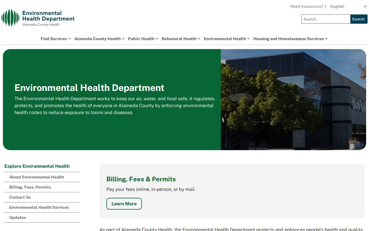
The Hayward inspection image keeps a Hayward facility record in its proper category: useful public evidence about an organization, never a substitute for a household record.
Hayward Block Lookup: Adjacent Parcels
The exact Hayward adjacent-parcel method starts with one known address and keeps the Hayward map at a fixed zoom. Hayward WebMap’s parcel geometry lets a searcher click the target polygon, then the polygons directly beside and across the street. Each click can supply an APN, situs, mailing field, parcel area, and a public or censored owner lead. The map is a spatial browse tool, not a legal survey and not a list of every person connected to a building.
- Geocode the target address in Hayward WebMap and turn on parcels and APN labels.
- Select the Hayward target polygon, record the APN and the situs-versus-mailing fields, then preserve the map date or layer name.
- Without changing zoom, click the Hayward parcels immediately beside the target and the parcels across the street.
- Use each APN in Hayward county assessment, tax, or recorded-document systems when an ownership question needs confirmation.
- For a whole named street or a longer address chain, use the Hayward street directory workflow instead of widening the block search without limit.
Hayward street filtering can use house number, prefix, pre-type, street name, type, suffix, unit, city, and ZIP fields, but the ArcGIS service has a 2,000-record maximum. A block method avoids that cap by using geometry and a small set of APNs. It also keeps adjacent parcels distinct when one Hayward street has many similarly named segments.
Hayward GIS Layers for Neighbor Context
The parcel layer is only one part of Hayward’s map. Available layers include fault, flood, liquefaction, schools and attendance areas, Code Enforcement Areas, Census 2020 tracts, Council Adopted Neighborhoods, historic resources, zoning and plans, inspection and planner districts, police beats, fire and council districts, addresses, jurisdictions, parcels, and APN labels. These Hayward layers explain a block’s setting and administrative context without turning map geometry into a personal profile.
The Hayward parcel popup separates situs from tax mailing address. Matching fields can support an owner-occupancy hypothesis, while a different Hayward mailing destination may suggest an absentee owner, trust, or billing destination. Neither result says who else is present at the address. The online map does not verify a homeowner-exemption flag, and utility or delivery customer data was not identified as a public alternative.
Hayward basemap choices include parcel views and 2023, 2020, 2017, 2014, and 1954 aerials, plus topographic and elevation options. A 1954 aerial can help explain a long-standing block pattern, while a current parcel layer supplies the APN needed for a records request. Physical continuity and personal identity are separate evidence tracks.
Hayward Council Neighborhoods in the Map
Hayward’s Council Adopted Neighborhoods layer names sixteen Hayward planning areas. These polygons can place a Hayward block inside a civic planning frame, but they are not associations, membership lists, or proof that a household participates in a neighborhood group. No verified public block-watch, congregation, or general neighborhood member roster surfaced in the research.
- Fairway Park
- Glen Eden
- Hayward Highland
- Mt. Eden
- Southgate
- North Hayward
- Jackson Triangle
- Upper B Street
- Santa Clara
- Burbank
- Harder/Tennyson
- Whitman/Mocine
- Mission Foothills
- Mission/Garin
- Tennyson/Alquire
- Longwood/Winton Grove
Use the Hayward polygon as a descriptive label, then return to the APN and Hayward parcel source for record work. A planning name can cross streets, contain many land uses, or overlap a postal area that reaches beyond Hayward.
Hayward Voter Records and Block Privacy
California’s voter tools answer a different question from a Hayward neighbor lookup. The Secretary of State registration-status route sends an individual to the Alameda County My Voter Profile system for an authenticated status check. The workflow uses a driver license or ID, the last four digits of a Social Security number, and date of birth. A result may include status, party, precinct or district, polling information, a sample ballot, and vote-by-mail history, but the authentication data is not released.
A qualified Hayward voter-file application asks for the applicant or organization, contact details, requested Hayward geography and data, permitted purpose, project description, recipient and security information, acknowledgment, and a perjury signature. Elections Code §2194 permits election, scholarly, journalistic, political, and governmental uses, while commercial use is prohibited. Protected voters and Safe at Home addresses remain suppressed.
That means a lawful file could be sortable by Hayward street or ZIP for an authorized project, but an ordinary searcher cannot browse a Hayward block roll. Participation history indicates that an election was participated in; it never reveals ballot choices. Keep this boundary visible when a parcel map appears to invite a voter cross-check.
Hayward Neighbor Organizations in Business Records
Hayward’s Chamber member directory searches by keyword and ZIP and also supports alphabetical and category browsing. It identifies public business or organization contacts. It does not establish a private residence, a household relationship, or participation in a Hayward planning neighborhood. The same rule applies to an Alameda restaurant inspection result, which identifies a facility, inspection date, result, and violation details.
These Hayward sources can add useful block context. A restaurant, community organization, or other listed business may explain why a map point has a public-facing address. A business record can also help distinguish an organization name from a person’s name in a deed or directory. It cannot be used to turn an organization’s contact record into a list of nearby residents.
The Hayward Chamber member directory is the appropriate source for public organization evidence. Read its keyword, ZIP, category, and alphabetical results as business-directory fields, not as a resident-search result.
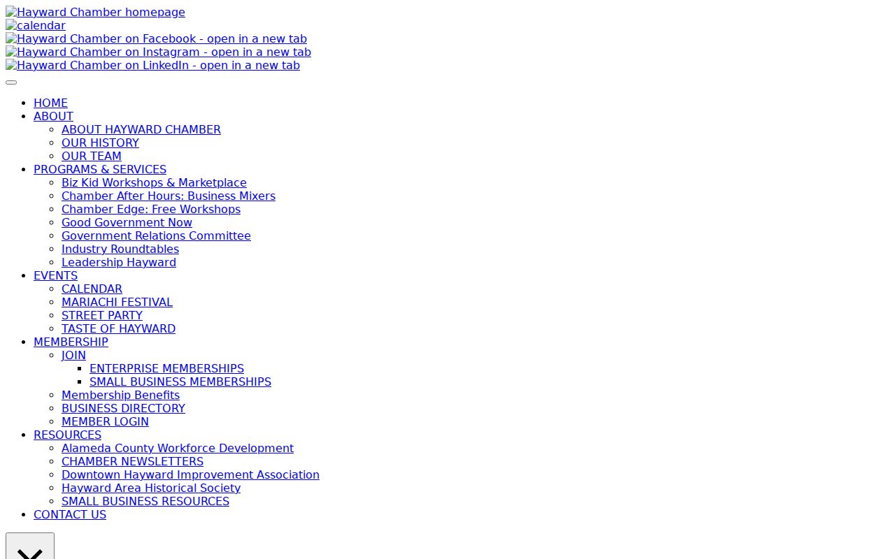
The Hayward Chamber image reinforces the category distinction: a public organization contact can sit near a parcel without identifying the people connected to adjacent homes.
Hayward Neighbor Data: Official or Compiled
Compiled Hayward neighbor-lookup tools often combine deeds, assessments, marketing data, and other public or licensed feeds. They can be stale, merge people with similar names, omit protected people, and present an inference as a current fact. The category is not a substitute for the record custodian. An official Hayward result also has limits, but its keeper, fields, and access rule can be checked.
| Category | Strength | Limit to Keep Visible |
|---|---|---|
| Hayward GIS and parcel layer | Current geometry, APN, situs, mailing field, adjacent polygons | Not a legal survey or complete household record |
| Alameda deed and assessment sources for Hayward | Recorded parties, transfers, values, and parcel characteristics | Ownership evidence is not occupancy evidence |
| Hayward planning and public organization directories | Civic labels, public contacts, facilities, and inspection history | No general member or neighbor roster |
| Hayward compiled neighbor-lookup category | May gather scattered clues into one interface | Source dates, identity matching, and lawful use can be unclear |
Use the official Hayward source first. Record the APN, instrument number, layer, or organization result, then test the date and role. A compiled result may suggest a lead, but a lead should return to the GIS, Assessor, Recorder, court, library, or organization that holds the underlying Hayward record.
Privacy Limits on Hayward Neighbors
California voter registration is not an open Hayward street directory. The state status route sends a voter to an authenticated Alameda profile using a California driver license or ID, the last four digits of a Social Security number, and date of birth. Those authentication values are not public. Elections Code §2194 limits voter-file release to election, scholarly, journalistic, political, and governmental purposes, and Government Code §7924.000 protects home addresses and identifiers outside those rules.
Safe at Home provides a substitute mailing address and confidential voter pathway for eligible survivors and specified participants. Ordinary Hayward parcel and deed records do not reveal every occupant, household relationship, child, delivery account, or utility customer. DMV personal data is separately restricted. A missing name is therefore often a privacy boundary, not evidence that a person is absent.
The California Megan’s Law website is a separate public-safety resource with name, address, city, ZIP, county, map, and radius searches where information is legally displayed. It carries an anti-harassment warning and should never be folded into an ordinary Hayward neighbor list or used to target a person.
The California Megan’s Law search is an official Hayward public-safety source with a defined purpose and its own legal warning.
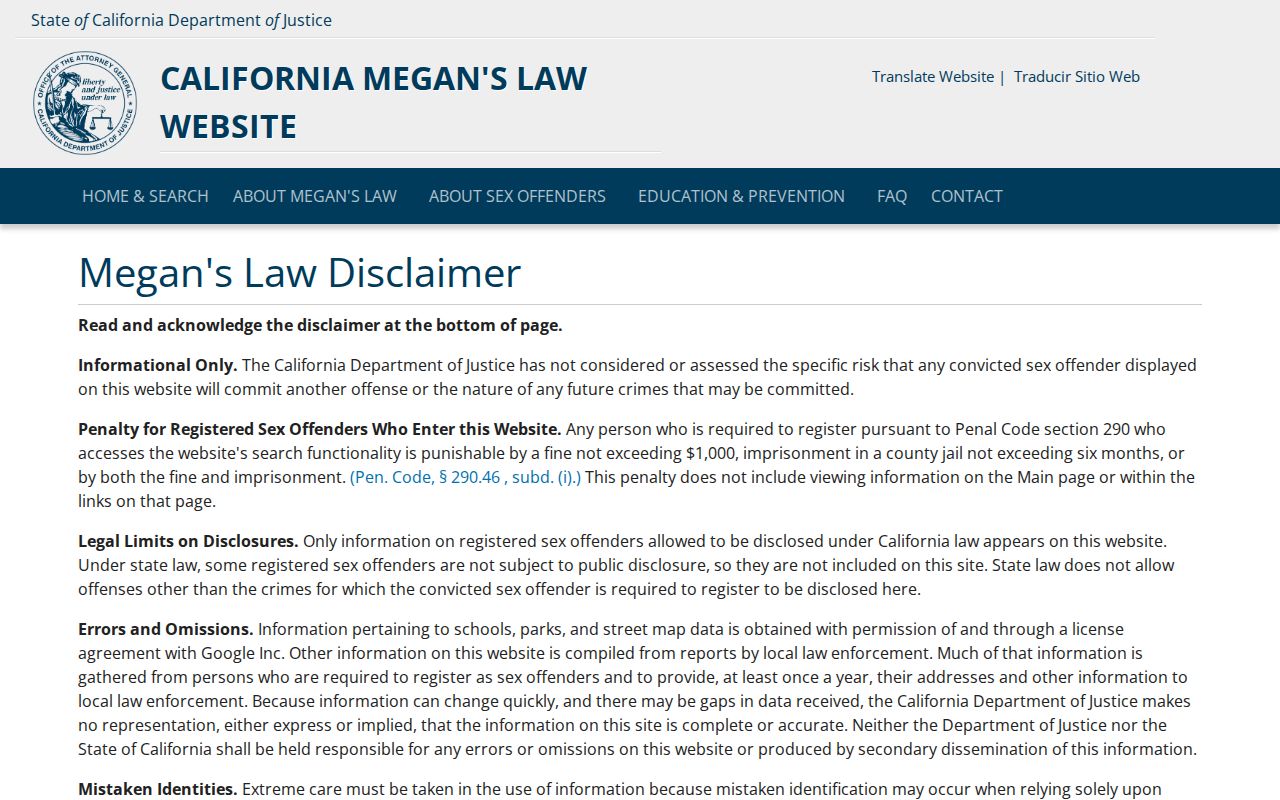
The Hayward Megan’s Law image belongs in the privacy discussion because a specialized public-safety registry is not evidence about ordinary neighbors.
Lawful use. Hayward neighbor lookups support getting to know a block, reconnecting with people, civic curiosity, and personal safety awareness. Never use an address or name trail to stalk, harass, intimidate, or harm anyone.